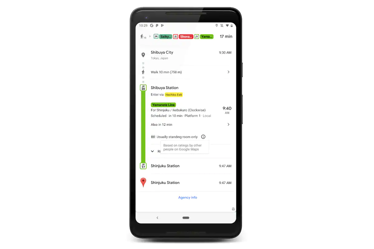
Google Maps will now predict whether you would get a seat in the public transit you’re about to catch
Google Maps is set to make your public transit experience better by offering crowdedness predictions specifically for public transport. This means, just like how you use Google Maps to see real-time traffic conditions on your route, you will now be able to understand how crowded the bus, train, or subway that you’re about to catch will be. Additionally, Google Maps is expanding its live traffic delays for buses to help you see how long the next bus would take to reach your stop. The feature that uses a machine learning model on top of live traffic data was first launched in India earlier this month.
With the addition of transit crowdedness predictions, Google Maps will become the ultimate solution to see how jam-packed is going to be your next public ride. This will help you make an informed decision about whether you should take the bus, train, or subway that is already crowded or wait for a transport that would have an empty seat for you.
The transit crowdedness predictions feature will be available through optional feedback directly from the Google Maps users. Further, you…
https://gadgets.ndtv.com/apps/news/google-maps-public-transit-crowdedness-predictions-bus-delays-update-android-ios-india-2060639


